Why Prokletije
The Prokletije range, "the Accursed Mountains" in the local name, forms the southernmost stretch of the Dinaric Alps and straddles the Montenegro, Albania, and Kosovo borders. On the Montenegrin side, Prokletije National Park covers roughly 16,000 hectares centred on Plav and its lake.
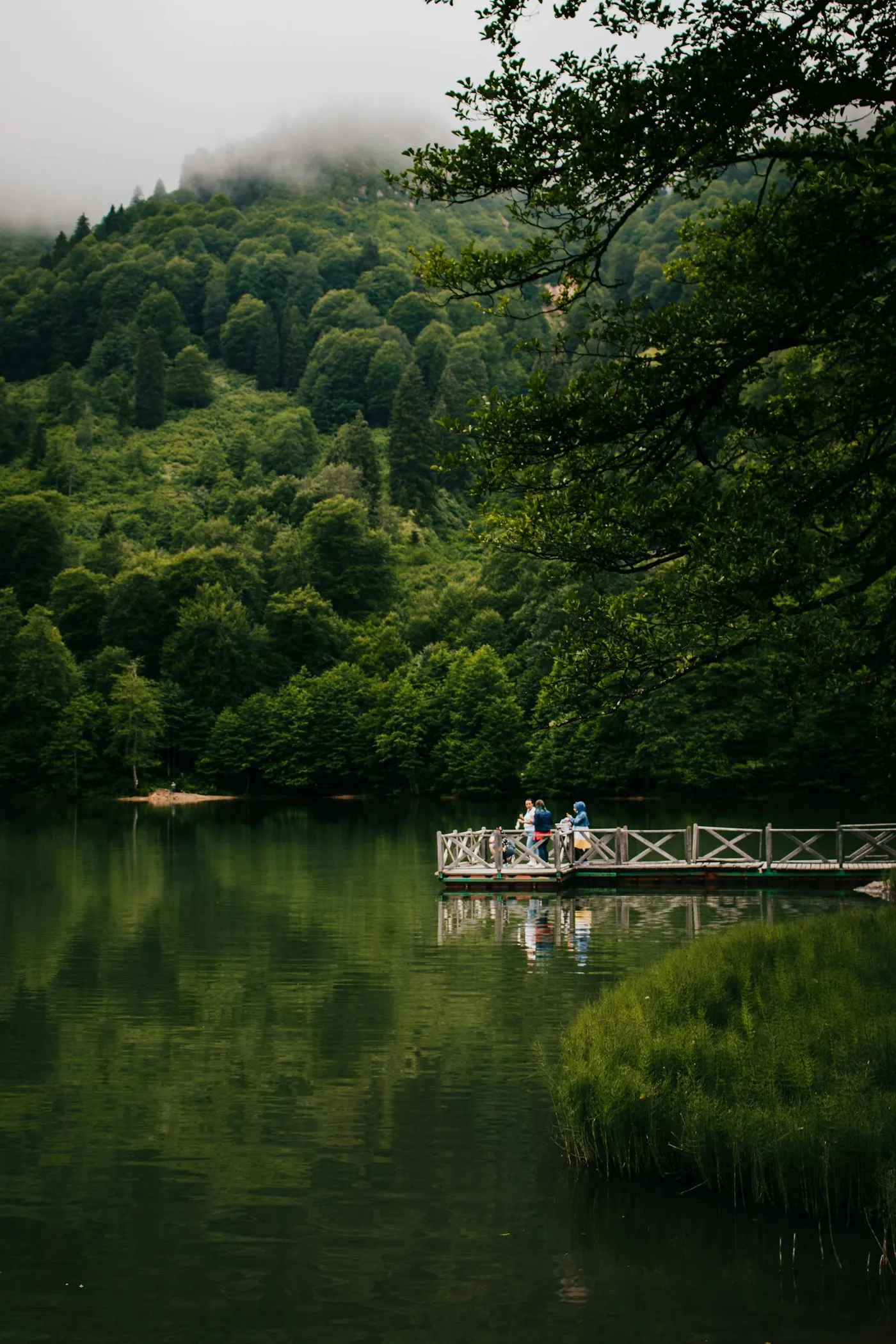
It is Montenegro's least visited national park. Where Durmitor has crowds and Lake Skadar has boat fleets, Prokletije has serious walkers and almost nobody else. Over 1,700 plant species grow here, 50 of them endemic. You hike past sheep herders whose families have used these summer pastures for centuries.
The drive from Podgorica
It's roughly 155 km to Plav via Berane, a 3-hour drive in good conditions. The route climbs steadily through Kolašin (our Biogradska Gora guide covers the national park just off this road if you want a half-day break from driving) and then cuts east across mountain country. The final descent into Plav opens onto the lake with Prokletije rising behind it, and that single moment justifies the drive.
Winter driving: the road remains open year-round but requires snow tyres November-April. Heavy snow closes specific mountain passes, so check conditions if travelling December-February.
Plav as a base
Plav is a small town on the shore of Plavsko Jezero (Plav Lake). It has a handful of supermarkets, bakeries, and restaurants, enough for a comfortable stay. Prices are roughly half what you'd pay on the coast.
Gusinje, 10 km further into the mountains, is even smaller and quieter. It's the traditional base for treks into Albania's Karanfili peaks. Both towns have guesthouses (pansion) and a couple of hotels.
Day 1, an easier introduction
Drive straight from Plav to Gusinje (15 minutes), then continue to the Grebaje Valley. Park at the end of the road. From here, the Lake Hrid hike is a good first-day walk: 2-3 hours each way through pine forest, ending at a clear glacial lake surrounded by limestone. Gentle gradient, well-marked.
Back in Plav by late afternoon. Dinner lakeside. Traditional cicvara (polenta with clotted cream) and grilled trout are the regional staples.
Day 2, the serious hike
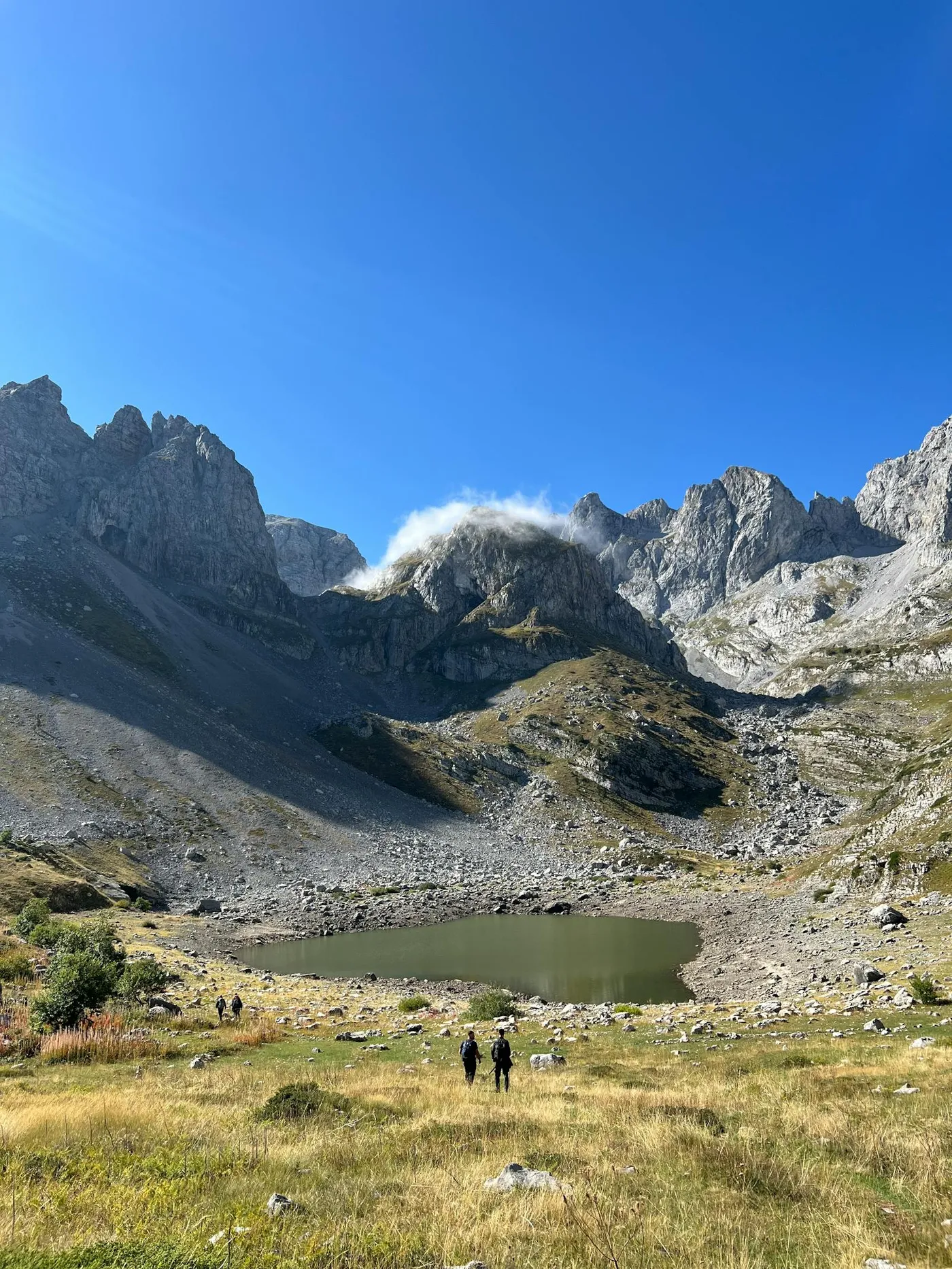
The headline walk is Volušnica (1,879 m) and Popadija/Talijanka (2,057 m) in the Grebaje Valley. Count on 5 hours total. The views from Volušnica across the Karanfili, a row of jagged limestone peaks, are the signature photo of Prokletije. A local guide is recommended and genuinely affordable; booking through the park office in Plav is straightforward.
Alternatives if 5 hours is too much
Bajrovića Katun to Lake Hrid, 2-3 hours, easy.
Plav Lake circuit, 16.5 km flat walk around the lake. Takes 4 hours at a slow pace, no guide required.
Drive up to the Montenegrin-Albanian border at Čakor for the view, then return, no hike required.
Practical tips
- Park entry: €1 per person per day. Pay at the park office in Plav or at trailheads.
- Guides: For anything above Volušnica, hire a local guide. Weather turns fast and waymarking thins out.
- Accommodation: Guesthouses in Plav average €25-40/night with breakfast in 2026 prices. Book ahead July-August.
- Food: Try cicvara and krempita (a custard slice). The local cheese is outstanding.
- Mobile signal: Patchy in the valleys. Download offline maps before leaving Plav.
- Cross-border: Albania's side of the Accursed Mountains is accessible from Gusinje via marked cross-border trails. Carry your passport; the crossing points are unmanned but require signing in at a ranger post.
Return to Podgorica
Same route back via Berane and Kolašin, or take the longer route via Rožaje and the Ibar Valley if you want variety. Both are 3-3.5 hours.